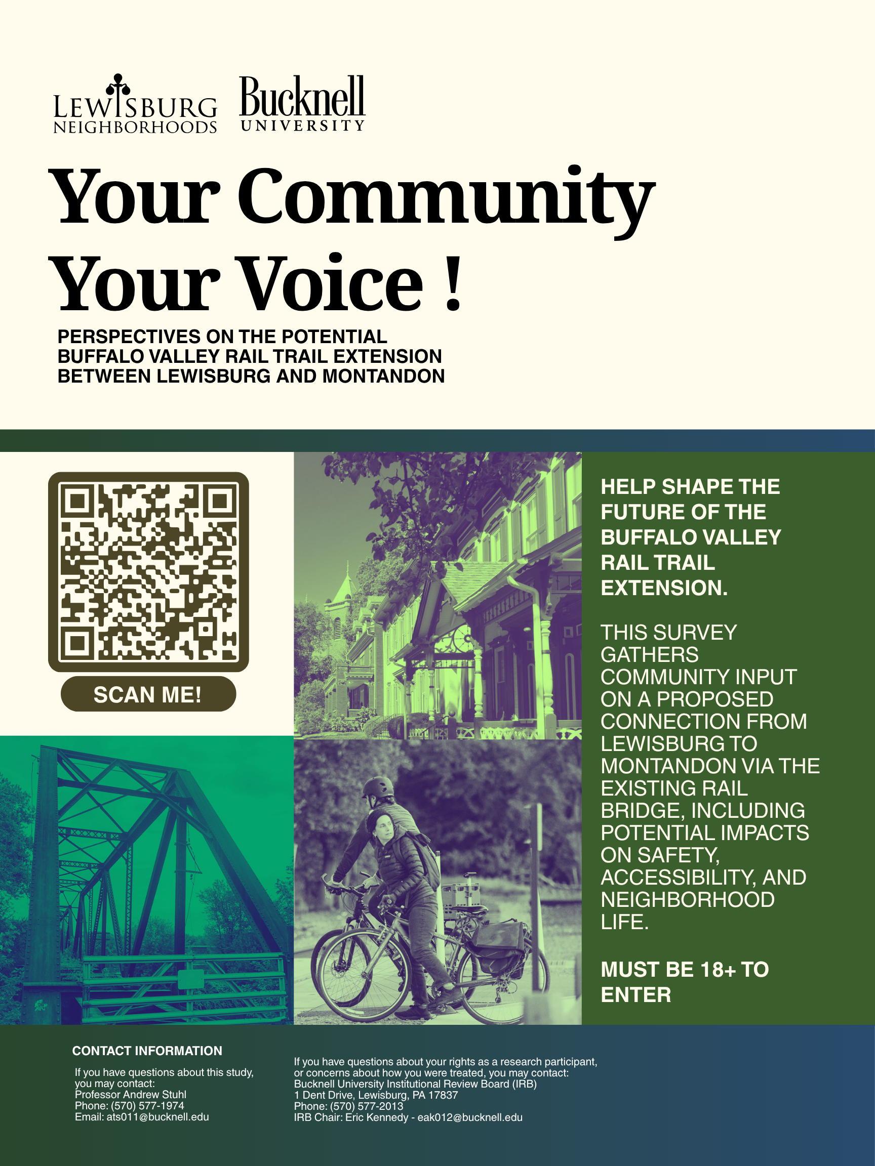
Community Research • Infrastructure Planning • Public Engagement
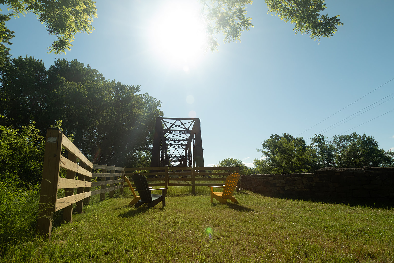
Buffalo Valley
Rail Trail
Extension
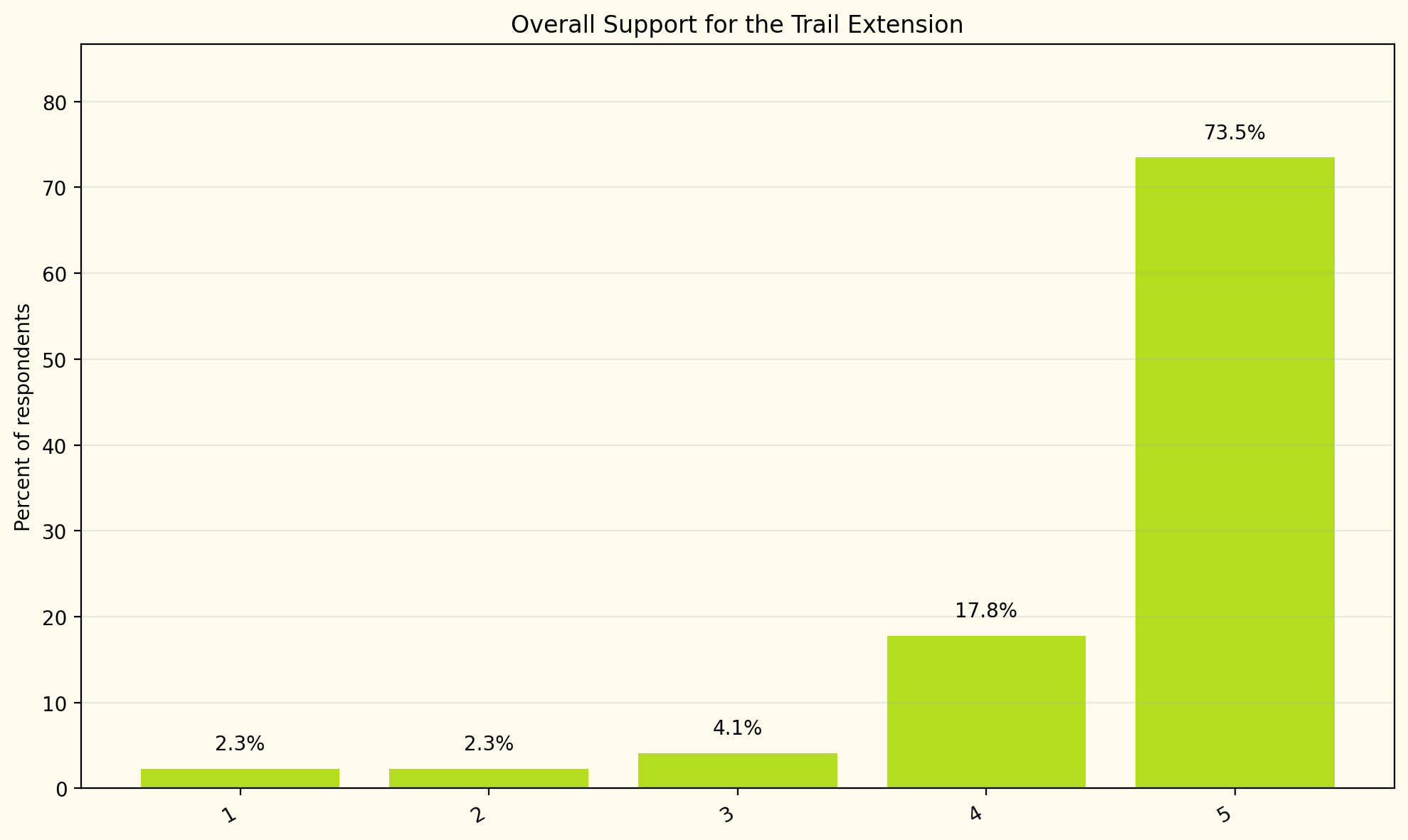
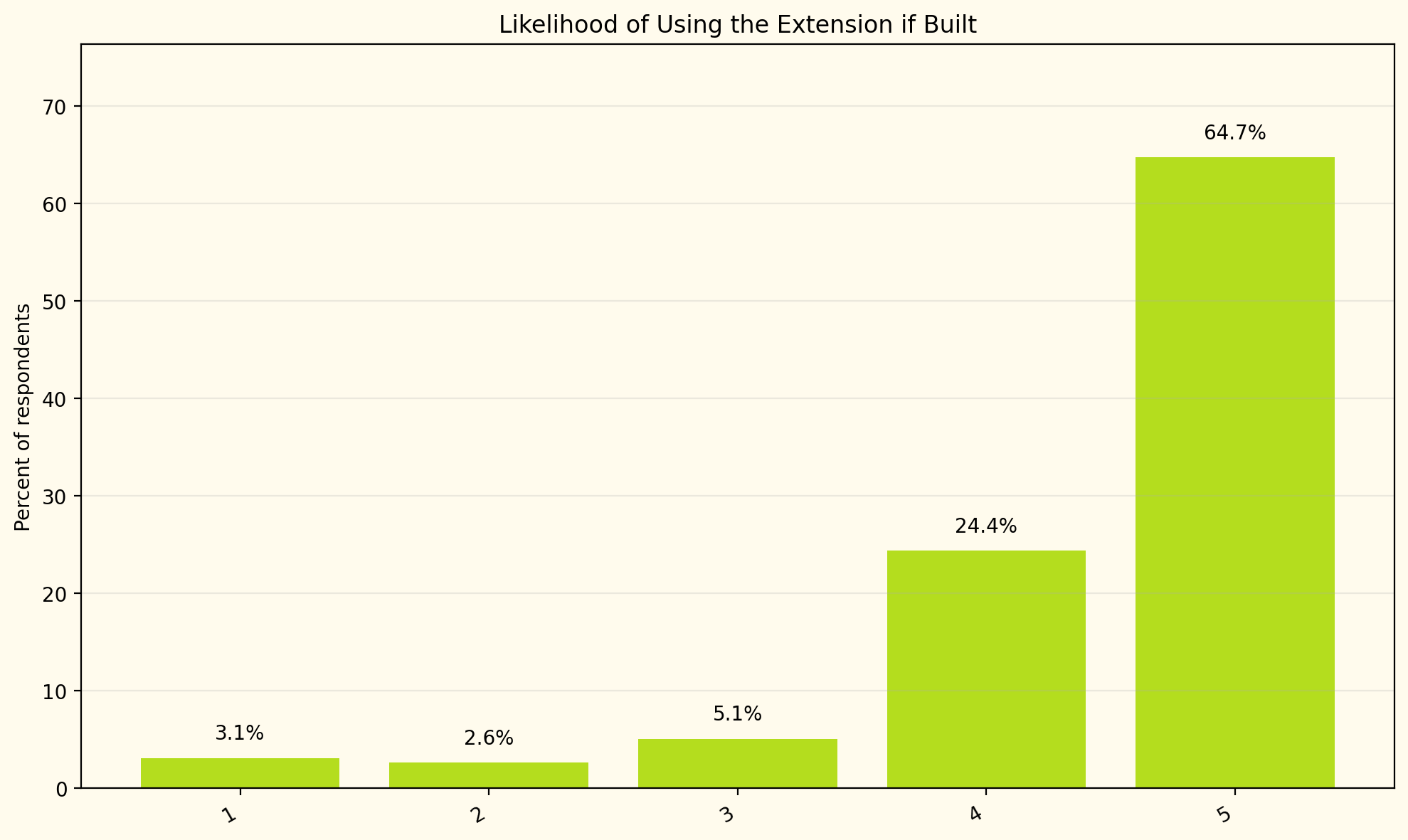
Community
Perception
A mixed-methods research project investigating the proposed expansion of the Buffalo Valley Rail Trail through Lewisburg and across the Susquehanna River into Montandon, Pennsylvania.
.png)